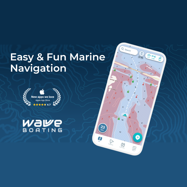
Choosing the Right Boating App for Navigation and Trip Planning
Mobile boating apps have become an essential part of modern navigation. Instead of relying only on onboard electronics or paper charts, many boaters now use smartphone and tablet apps to plan trips, check marine conditions, and navigate waterways. These apps provide real-time data, digital charts, and GPS tracking in a single platform.
However, not all boating apps serve the same purpose. Some tools focus heavily on navigation and chart detail, while others prioritize trip preparation, safety alerts, and environmental awareness. Because of these differences, many boaters research deckee vs navionics comparisons to understand which app fits their boating style best.
The purpose behind Deckee
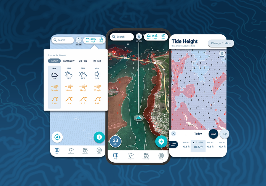
Deckee is designed primarily as a boating planning and safety app. It combines marine maps, weather forecasts, tides, and safety alerts into one platform that helps boaters prepare before heading out on the water.
The app includes features such as:
- Interactive marine maps with navigation aids and points of interest
- Weather forecasts tailored to boating conditions
- Location sharing and float plans for safety
- Automatic trip logging and activity tracking
- Official safety alerts and regulatory updates
These tools make Deckee especially helpful for recreational boaters who want an easy way to check conditions and organize their trips before launching.
Because it focuses on preparation and situational awareness, Deckee often acts as a “boating assistant” rather than a dedicated navigation system.
What Navionics focuses on
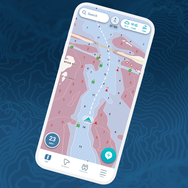
Navionics, on the other hand, is widely known as a navigation-focused marine chart app. It provides detailed nautical charts, route planning tools, and navigation data that help boaters travel safely across lakes, rivers, and coastal waters.
Key features of Navionics include:
- Detailed digital marine charts and bathymetry
- Route planning and waypoint creation
- Offline chart access for navigation without internet
- Depth contours and hazard information
- Marine chart overlays and navigation markers
Because of its strong charting capabilities, Navionics is often used as a primary navigation tool during boating trips.
Many experienced boaters rely on the app for navigating unfamiliar waters or planning complex routes.
Planning versus navigation
The biggest difference between the two apps is their main focus.
Deckee is designed to help boaters prepare and stay informed. It focuses on safety alerts, weather forecasts, and planning tools that help users decide when and where to go.
Navionics focuses on navigation itself. Its detailed charts and route planning tools are designed to help boaters move safely through waterways once the trip has started.
Because of this distinction, the two apps often complement each other rather than compete directly.
Interface and usability differences
Another noticeable difference is how information is presented.
Deckee uses a simplified interface that allows users to quickly review boating conditions, maps, and alerts. This makes it easy for beginners or casual boaters to understand what is happening on the water.
Navionics provides highly detailed chart data. While this level of detail is useful for navigation, the charts can sometimes appear crowded on smaller screens because of the amount of information displayed.
For experienced navigators, that detail can be extremely valuable.
Why some boaters use both apps
Many boaters do not choose just one app. Instead, they combine multiple tools to take advantage of different features.
For example:
- Deckee can be used to check marine forecasts, safety alerts, and trip plans.
- Navionics can then be used to follow detailed navigation charts while underway.
Using both tools allows boaters to benefit from both planning support and advanced navigation capabilities.
How boating apps continue to evolve
Marine technology continues to improve as smartphones and tablets become more powerful. Navigation apps now combine GPS positioning, digital charts, weather forecasts, and environmental data in ways that were once only possible with expensive marine electronics.
As a result, boaters have more navigation options than ever before.
Many modern apps also include features such as:
- Offline chart downloads
- Real-time weather overlays
- Community-shared information about hazards and anchorages
These innovations are making boating safer and more accessible for both beginners and experienced captains.
Choosing the right app for your boating style
The best boating app depends largely on how you use your boat. Boaters who prioritize preparation and safety alerts may prefer planning-focused apps. Those who rely heavily on navigation charts may prefer chart-based navigation platforms.
Some boaters combine both approaches by using multiple apps throughout a trip.
Ultimately, the goal is the same for every boater: having reliable information that helps them navigate safely, avoid hazards, and enjoy their time on the water.
With the right tools and preparation, modern boating apps can transform how boaters explore waterways and plan their adventures.